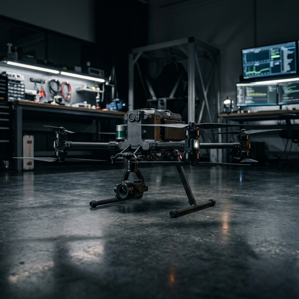
Raven explores aerial inspection and mapping in environments where satellite positioning is unreliable or unavailable.
The project focuses on onboard awareness and coordination between aircraft. Mission suitability depends on the site, operating conditions, and validation requirements.
Gallery & key details
Enlarge the project image for a closer look.
Capabilities
Limited-GPS environments
Indoor mapping and inspection research
Navigation development for environments with unreliable GPS
Onboard awareness
Recognition of surroundings processed on the aircraft
Reduced reliance on remote processing during perception tasks
Coordinated operation
Research into communication between aircraft
Potential support for distributed inspection workflows
Applications
Structural inspection research
Indoor mapping
Environmental observation
Search-and-rescue research
Development status
System design and validation in progress.
Developed in 2026. Raven is under system design and validation. Mission capability and deployment suitability must be assessed for the intended environment.
Project inquiry
Discuss your Raven requirements.
Describe the site, inspection or mapping goal, access limits, and expected mission conditions.